Description:
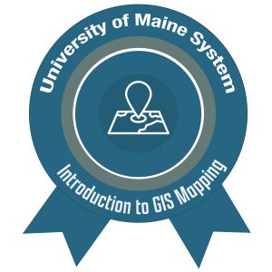
This micro-credential recognizes and validates the learner’s successful completion of the University of Maine System (UMS) Maine Geospatial Institute pathway in Introduction to GIS Mapping (Levels 1, 2, and 3). The learner also earned two basic-level micro-badges, one in Map Data and the other in Map Analysis and Geoprocessing. After the micro-credential was completed the learner demonstrated skills in map design, understanding of map types and conventions, knowledge of spatial and attribute data types, creation and sharing of online maps, basic heuristic problem-solving concepts and skills as applied to online mapping. The learner gained experience by completing an application project, integrating map design, data acquisition, and analysis skills to produce an effective cartographic product.
Contact Information:
- Eileen Moran, Coordinator for the Maine Geospatial Institute (email for more information: eileen.moran@maine.edu)
- Matt McCourt, Maine Geospatial Institute and University of Maine at Farmington (email for more information: matthew.mccourt@maine.edu)
Website:
Maine Geospatial Institute (External Link)
Categories:
- Grow Maine
- Technology/Computing
- Environment/Outdoors
- 21st Century Skills/Training
- Beginner
- Online asynchronous/self-paced, Hybrid
Who is Eligible:
To access the micro-credential sign-up form, visit Maine Geospatial Institute
Email matthew.mccourt@maine.edu and eileen.moran@maine.edu for more information about eligibility and how to register.
Badgr Pages for the Levels of the Micro-Credential:
View full list of Micro-Credentials
Last Update: 2/22/23