Maine Geospatial Institute Celebrates World GIS Day

Register now to participate in Maine Geospatial Institute (MGI)’s celebration of World GIS Day 2022!
We hope you’ll join us for:
- a Maine crowdsourced mapping activity (external site) throughout the month of November. Add your entry (external site) now to be eligible for prizes!
- a November 16 panel (external registration site) with Geographic Information Systems students in the University of Maine System, 6 p.m. on Zoom (registration is free and required). Scroll for presenter bios!
Map Your Maine Community

With your help, our interactive map shows Maine communities in action. Kids to adults, mapping novices to mapping pros, add your photos to the map. Need some examples?
- Add a photo of a place that is important to your Maine community such as a gathering place, a monument, a community building, or another community asset.
- Add a photo showing your community in action, celebrating or building or working together.
- Are you outside of Maine but connected to the state? Add an image showing how you connect with your Maine community.
Check out the maps from 2020 and 2021 now (External Site)
Add your entry by following this link (External site) or using this QR code now!
Five randomly selected World GIS Day 2022 Map Your Community participants will win subscriptions to ArcGIS for Personal Use – worth $100!
New this year: every participant will win a premium subscription to StoryMaps, Esri‘s personal storytelling tool!
Registration is now open: Please join us for a virtual discussion with Maine geospatial students
This moderated panel discussion will feature special guests representing unique geospatial projects at three different campuses in the University of Maine System.
November 16 at 6 p.m. on Zoom.
Register in advance for this panel (External Site). After registering, you will receive a confirmation email containing information about joining the zoom.
Meet the 2022 panelists and moderator:
Shanna Hobbs
Shanna Hobbs is in her final year as a part-time student in the Masters of Science Spatial Informatics program at University of Maine, Orono. She received her undergraduate degree in Environmental Studies from the University of California, Santa Cruz. It was there that she took her first class in Geographic Information Science (GIS) which became a catalyst for a career toward utilizing the power of GIS to solve meaningful real-world challenges. Since graduating, Shanna has worked for state and government agencies, using GIS in ecological conservation and restoration, and is now in the private sector at a Seattle-based forestry startup where she uses her geospatial and industry experience to solve problems across the reforestation pipeline. Shanna‘s desire to pursue GIS academically never faded – she received a technical GIS & cartography certification from the University of Washington, Seattle.
Logan Kline
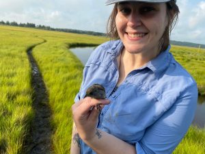
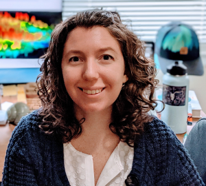
Logan Kline recently earned her MSc in Ecology and Environmental Science from the University of Maine. For her research, she assessed the ability of an artificial intelligence algorithm to detect and classify seabirds in remotely sensed imagery. She used GIS extensively in her data collection and interpretation.
Austin Simmons

Austin Simmons, a sophomore at the University of Maine at Machias (UMM) in the Environmental GIS program, worked with the UMM GIS lab in partnership with Sunrise County Economic Council and the town of Jonesport to improve climate resilience, assisting the town in making more informed decisions regarding climate resilience, some of which were used in current infrastructure development projects. The town was also provided training on how to use climate related interactive web maps: a model for other communities.
Moderator Tony Guay

Moderator Tony Guay is a Remote Sensing Specialist with the Wheatland Geospatial Lab. Guay provides remote sensing and geospatial training to stakeholders in Maine’s forest sector, including industry professionals, small woodland owners, and conservation partners. He supports geospatial science teaching and research efforts and is responsible for outreach and coordination with various stakeholders throughout the state. Guay is a founding member of the Maine Geospatial Institute (MGI) and serves as chair of its Executive Committee.
Prior to his appointment at UMaine, Guay was an analyst and instructor with RedCastle Resources, Inc. working onsite at the US Forest Service – Remote Sensing Applications Center (RSAC) in Salt Lake City, Utah. During his 18-year tenure at RSAC, he was responsible for coordination, implementation, and management of a national post-fire vegetation severity mapping program. He was also a lead instructor for the training program at RSAC, providing courses and workshops to Forest Service personnel nationwide on a variety of remote sensing and geospatial topics.