Regional Land Use:
Baseline Mapping of Maine’s Land Cover
This project will be a collaborative effort between the National Oceanic and Atmospheric Administration Coastal Change Analysis Program (C-CAP), the Maine GeoLibrary and the University of Maine to use innovative machine learning approaches to map Maine’s land cover at 1m and 10m spatial resolutions with a 4-6 year refresh cycle.
For more information, contact GeolibraryBoard.OIT@maine.gov
Planning & Zoning
University of Maine at Machias:
The GIS Laboratory at University of Maine at Machias provides strategic planning, zoning and parcel mapping services for Downeast communities. Access interactive online maps for community and regional planning (External Site).
For more information, contact tjohnson@maine.edu
University of Maine at Presque Isle:
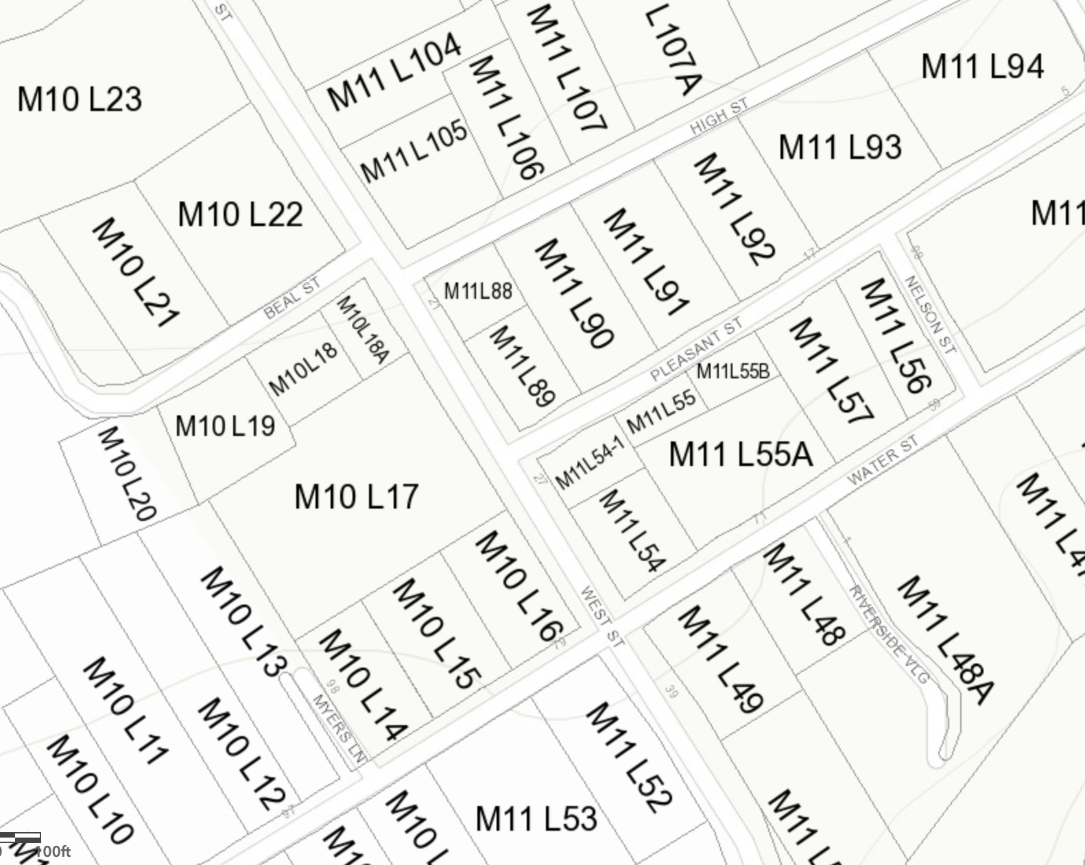
A University of Maine at Presque Isle team has developed parcel (land ownership) GIS databases for 15 cities/towns in central Aroostook County and continues to do updates.
For more information, contact chunzeng.wang@maine.edu
Back to Maine Geospatial Project Directory Page