Natural Resource Management:
Native Bee Pollinators Spatial Ecology and Conservation Planning
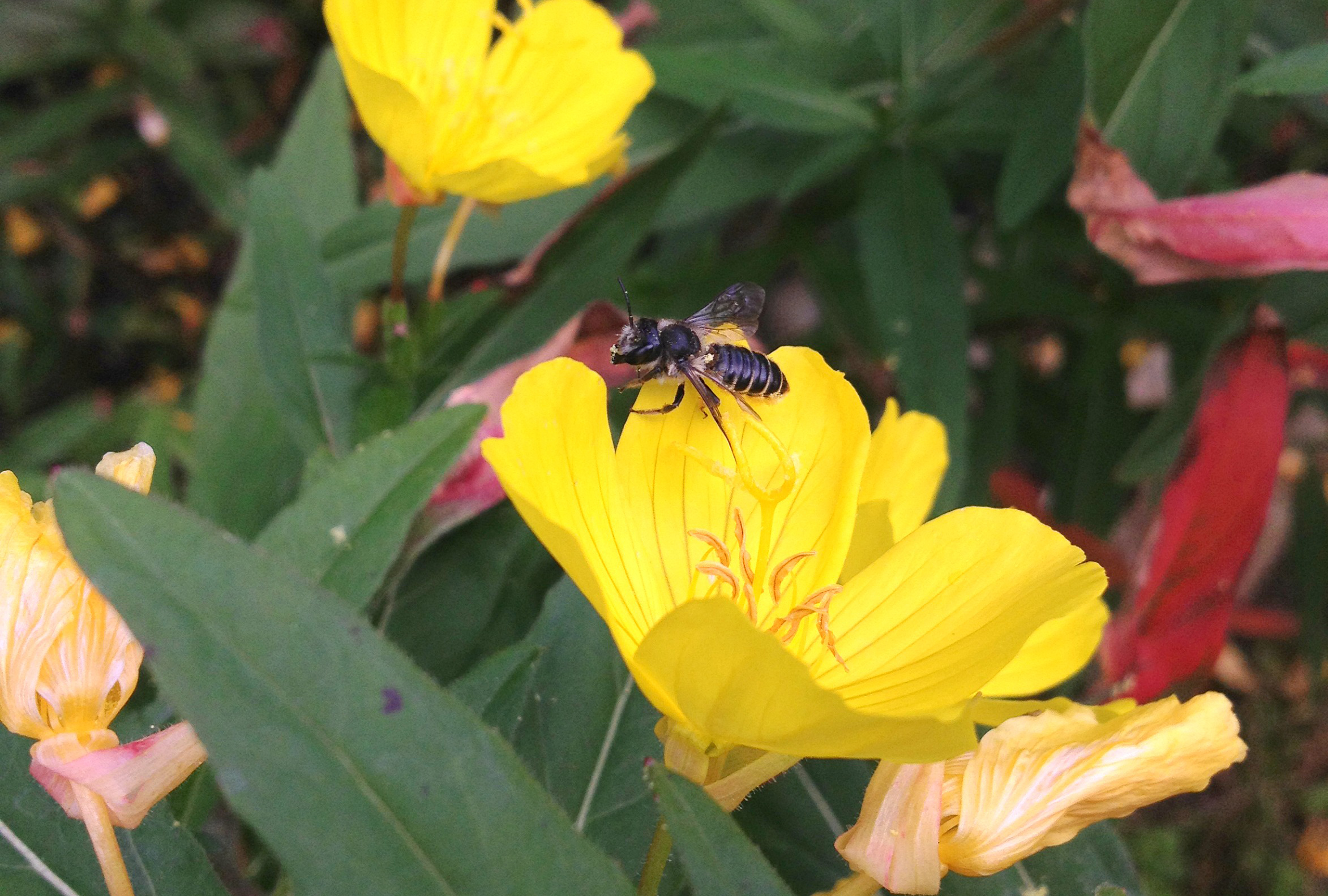
This multi-disciplinary collaboration among the University of Maine, Maine Department of Transportation, Maine Department of Inland Fisheries and Wildlife, and the Cooperative Fish and Wildlife Research Unit of the United States Geological Survey seeks to understand landscape factors affecting diversity and abundance of native bees in Maine.
See more about BeeMapper (External Site).
Monarch Butterfly Stopover Location Modeling
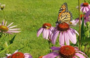
Spatially-explicit predictive models of monarch butterfly fall migration stopover and roosting habitats are being developed in collaboration with the University of Maine, Maine Department of Inland Fisheries and Wildlife, the Cooperative Fish and Wildlife Research Unit of the United States Geological Survey, and the United States Veterans Administration. These may be used to evaluate climate vulnerability and high suitability areas for conservation planning. Download the app and read more about the Monarch Model Validation Project (External Site).
Vegetation Burn Spatial Relationships
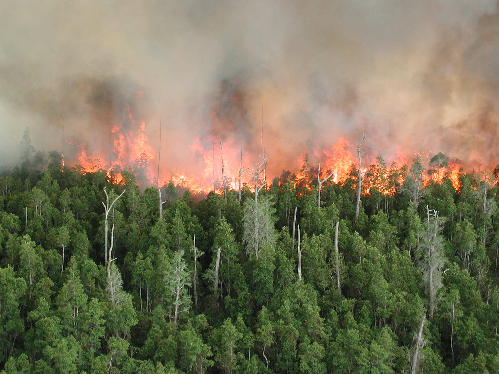
This long-term study of the Maine Cooperative Fish and Wildlife Research Unit of the United States Geological Survey and the US Fish and Wildlife Service combines satellite imagery-derived land cover maps and spatially explicit, dynamic, vegetation succession and hydrology models. They are being used to examine and communicate to water and fire management officials crucial information about the Okefenokee Swamp in Georgia, including vegetation distribution, composition, and structure.
Read the full paper: Evaluation of Vegetation-Fire Dynamics in the Okefenokee National Wildlife Refuge, Georgia, USA, with Bayesian Belief Networks (External Site)
Wildlife Survey Technologies: A Case Study with Colonial Nesting Coastal Birds
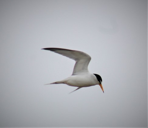
A multidisciplinary team including the University of Maine, Maine Department of Inland Fisheries and Wildlife, and the United States Fish and Wildlife Service is developing protocols for integrating various remote sensing technologies (e.g., UAVs, planes, imagery types) with artificial intelligence for automated imagery interpretation in surveys of Maine’s coastal colonial nesting birds.
For more information, contact cynthia.loftin@maine.edu
Forest Resource Management and Planning
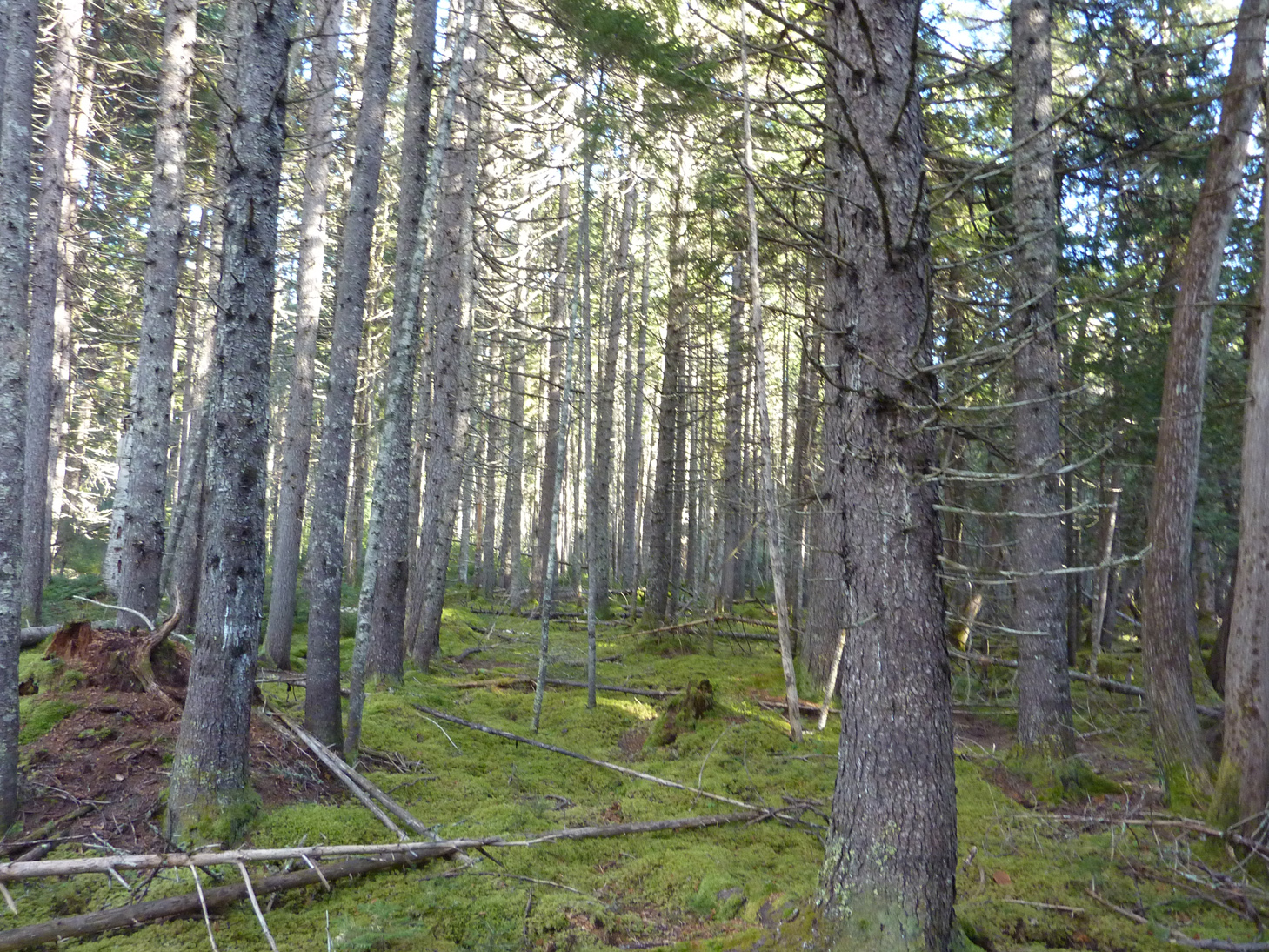
This project, funded by the Bureau of Indian Affairs, resulted in the development of a comprehensive forest GIS database system for habitat and climate change studies and to inform Maine’s Aroostook Band of Micmacs to inform their decisions about managing culturally important and ecologically sensitive forest resources.
For more information, contact chunzeng.wang@maine.edu