Educational Support:
Digital Atlas of Maine
The Digital Atlas (External Site) is a teaching tool compiled and developed through the University of Southern Maine Geographic Information Systems department. With this version, either ArcGIS or QGIS can be used to view and explore the Digital Atlas.
Workshops and Webinars

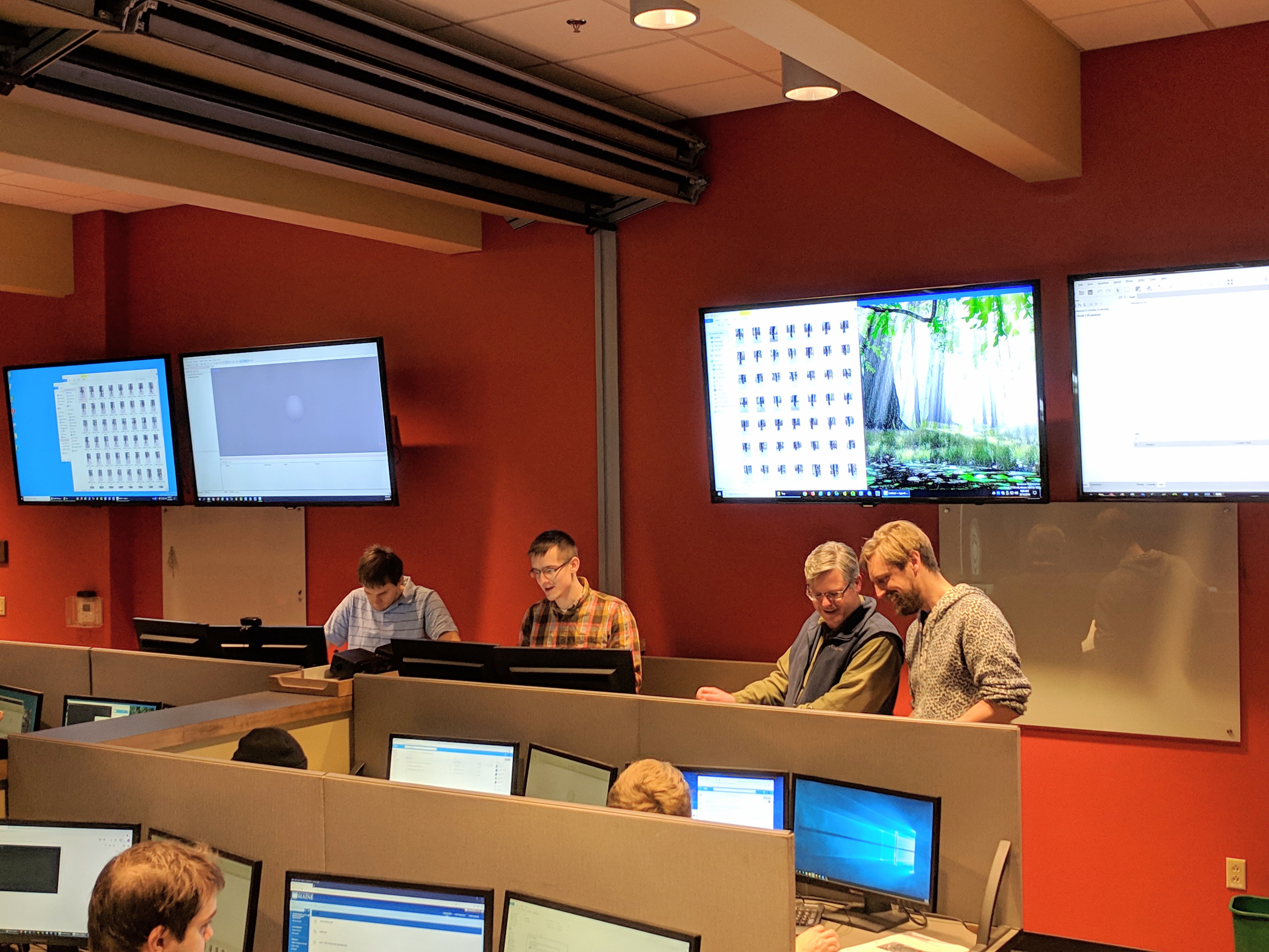
The Maine Geospatial Institute offers workshops and training opportunities, including offerings through the Wheatland Geospatial Lab. Interested in participating in and/or hosting a workshop with one of our team members? Please reach out via our Contact Form or mgi-group@maine.edu. Workshops may be customized. In addition, MGI members can meet with you to share what the Maine Geospatial Institute does, and how it can partner with you to achieve specific goals.
A few examples of available geospatial technologies workshops include:
3D Point Clouds for Beginners:
This one-day workshop explores the basics of 3D point cloud processing using tools in FUSION, Global Mapper, and ArcGIS. You will learn where to get publicly available point cloud data, how to visualize your data, and how to create bare earth DEMs, canopy surface models, and canopy height models. Participants will walk away with the tools and knowledge to apply the workflows used in the workshop to their existing lidar and photo-based point cloud datasets.
Terrain & Hydrologic Modeling with Lidar:
This half-day workshop explores the basics of terrain and hydrologic modeling from lidar-derived, high-resolution Digital Terrain Models (DTM). You will learn where to get publicly available lidar data, how to create bare-earth DTMs, generate terrain indices such as slope and aspect maps, and perform the steps necessary for proper hydrologic modeling. Participants will walk away with the tools and knowledge to apply the workflows used in this workshop to make terrain and hydrologic models from lidar data.
Looking for additional opportunities to learn? Check out the Barbara Wheatland Seminar Series (External Site).
