Maine Geospatial Institute Offers Stipends for K-12 Educators to Learn New Mapping Skills
The Maine Geospatial Institute will host a K-12 educator workshop November 15, 2023. Educators of any discipline who would like to learn easy ways to use mapping tools to enhance classroom (and outside the classroom!) teaching are invited to participate. No prior experience required!
Where: Zoom
When: November 15, 2023 in two sessions (choose the one that best fits your schedule): 3:30 – 4:30 p.m. or 6:30 – 7:30 p.m.
The Teaching With Maps workshop will provide a pathway for K-12 educators to tap into competitive stipends to offer discipline-appropriate activities for Maine’s students.
There will also be a random drawing for five attendees to receive free ESRI ArcGIS software for personal use, a $100 value.
This will be a facilitated and highly interactive experience. Come ready to participate and connect in various ways. Participants will help create what happens next!
Why Learn New Mapping Skills?
It’s an exciting time for mapping technologies. Students are more interested than ever in learning how to connect data with the world around them, using state-of-the-art technology.
So what exactly are geospatial technologies/geographic information systems (GIS)? It’s all about connecting. GIS connects different kinds of data to a map, providing a foundation for analysis that is used in just about every discipline. GIS helps people discover patterns and relationships in a geographic context.
Will this work for your classroom? Yes! Students can apply mapping skills to nearly every discipline, from the humanities to the sciences, and much more!
What comes after this workshop? For those who wish to continue participating after the introductory workshop and pursue ideas to add geospatial technologies to your classroom, there are additional paths of opportunity.
Workshop Program
Welcome
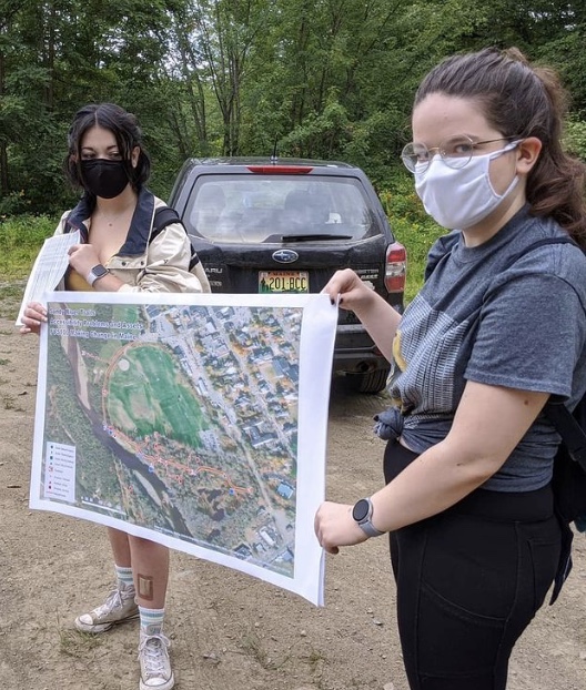
1. Getting Students Outside with Mobile Mapping
2. Tools to View Landscape Changes Through the Years
3. Teaching with New National Geographic Map Maker App
4. Story Maps
Next Steps
Workshop Presenters
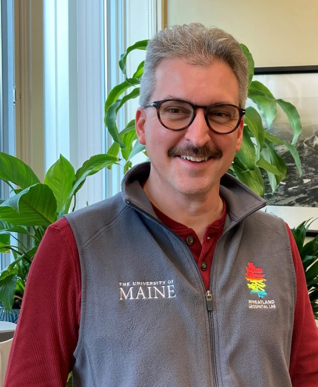
Tony Guay
Tony Guay is a Remote Sensing Specialist with the Wheatland Geospatial Lab in the School of Forest Resources at the University of Maine. Tony provides remote sensing and geospatial training to stakeholders in Maine’s forest sector, including industry professionals, small woodland owners, and conservation partners. He supports geospatial science teaching and research efforts in SFR and is responsible for outreach and coordination with various stakeholders throughout the state. Tony is a founding member of the Maine Geospatial Institute (MGI) and serves on its Executive Committee. MGI is a statewide collaboration across the University of Maine System for workforce development, education, and research in geospatial science. Prior to his appointment at UMaine, Tony was an analyst and instructor with RedCastle Resources, Inc. working onsite at the US Forest Service – Remote Sensing Applications Center in Salt Lake City, Utah. During his 18-year tenure at RSAC, Tony was responsible for coordination, implementation, and management of a national post-fire vegetation severity mapping program. He was also a lead instructor for the training program at RSAC, providing courses and workshops to Forest Service personnel nationwide on a variety of remote sensing and geospatial topics.
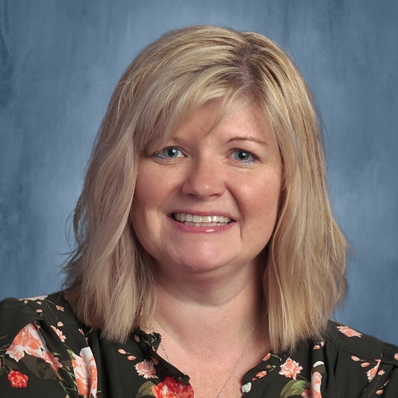
Brandi LeRoy
Brandi LeRoy is a high school geography teacher at Bangor High School. She has been teaching for 16 years and using GIS in the classroom for the past 8. She is currently working on her PhD in geographic education at Texas State University.
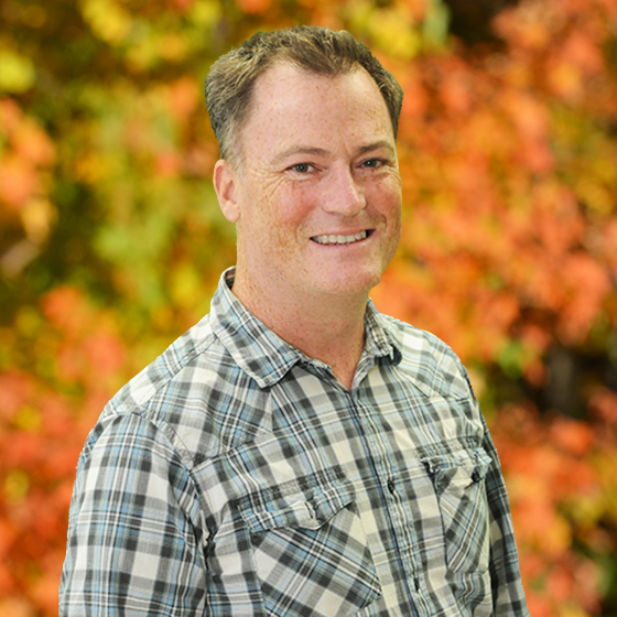
Matt McCourt
Matt McCourt is an associate professor of geography at the University of Maine, Farmington. He is a cultural geographer with a background in GIS and community planning. He teaches courses on landscape, planning, GIS, geographic concepts and globalization. Matt’s current research involves working with students and community partners to understand how people take care of their local economies, cultures and ecological communities. Matt and his students use surveys and participatory mapping techniques in the field, create beautiful web and paper maps with GIS, programming tools and graphics applications, and present their research at regional and national conferences. Matt is also working on a book project applying active learning strategies to the study of North American landscapes.

Sharon Kitchens
Sharon Kitchens (she/her) is a content creator on Esri’s StoryMaps team, where she helps create place-based stories. Prior to Esri, Sharon wrote about food and agriculture for a variety of New England publications.
.
Workshop made possible by a grant from the Maine Jobs & Recovery Plan – the proposal put forth by Governor Mills and supported by the Maine Legislature to invest the state’s share of federal American Rescue Plan relief funds, including in University of Maine System workforce development.